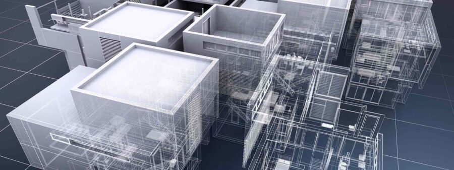
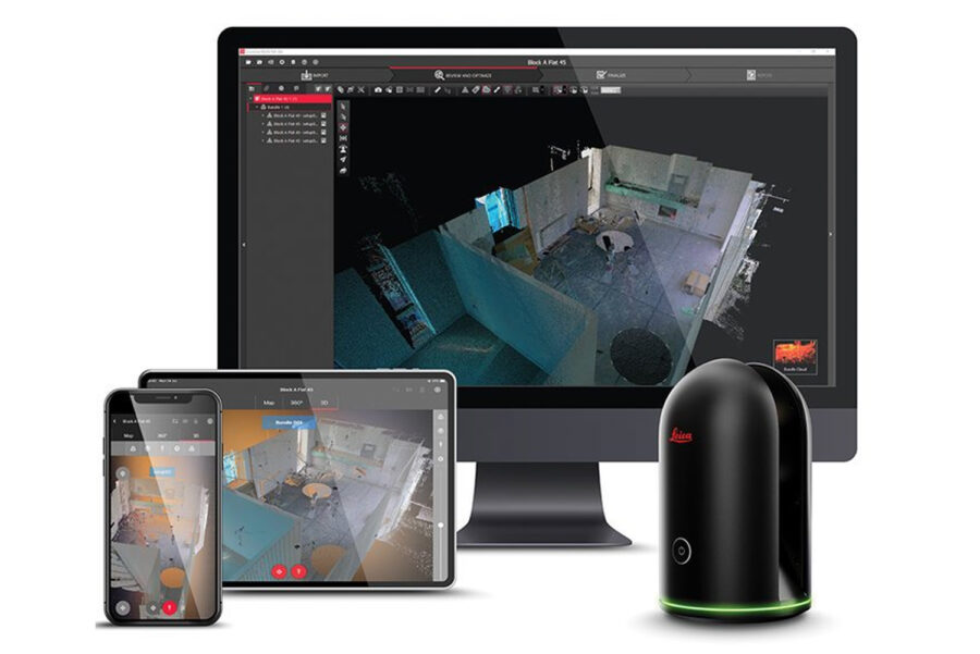
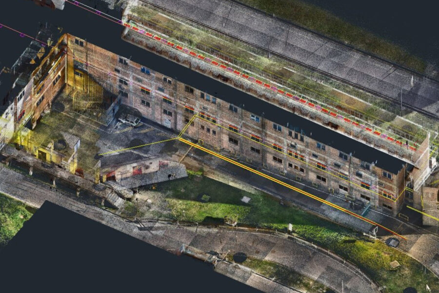
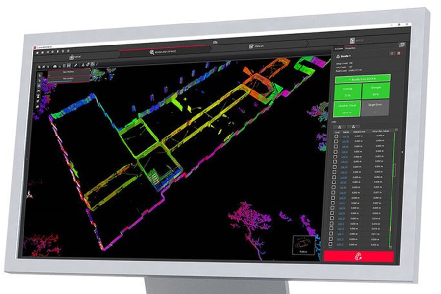
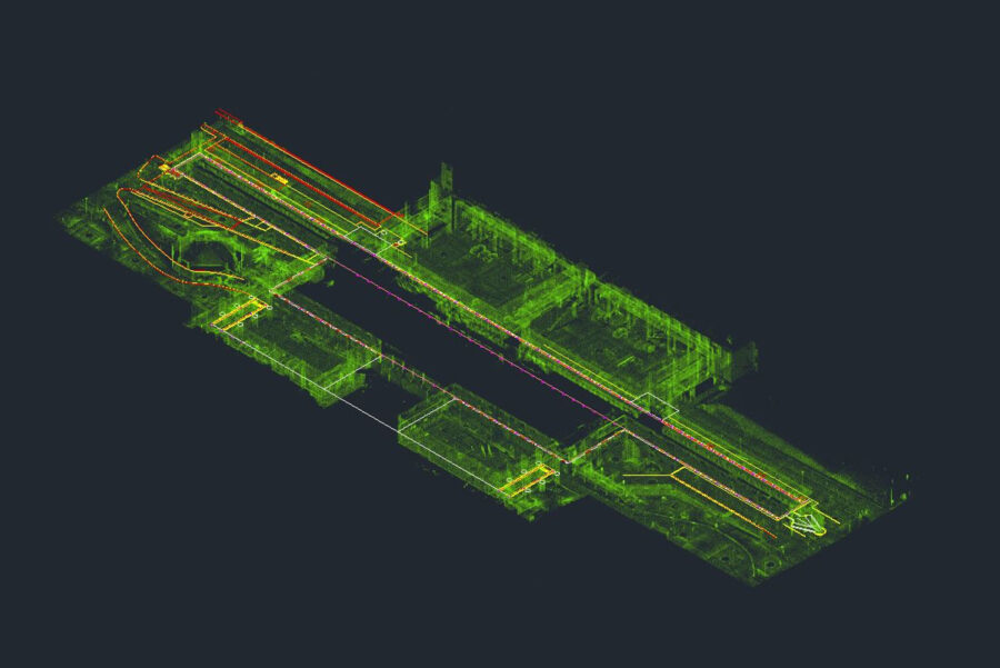
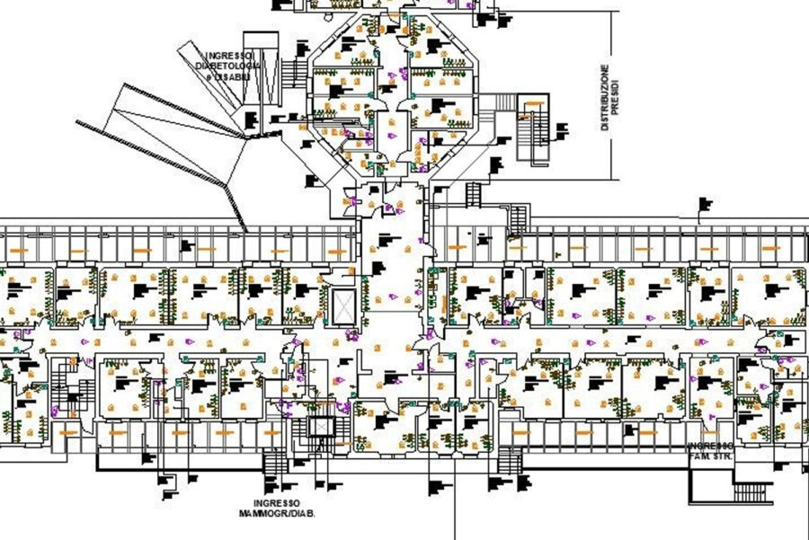
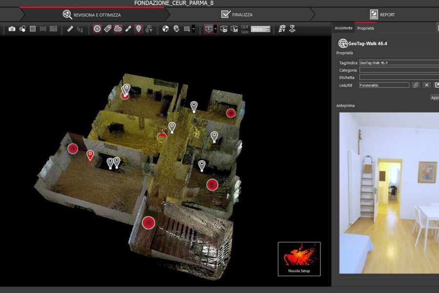
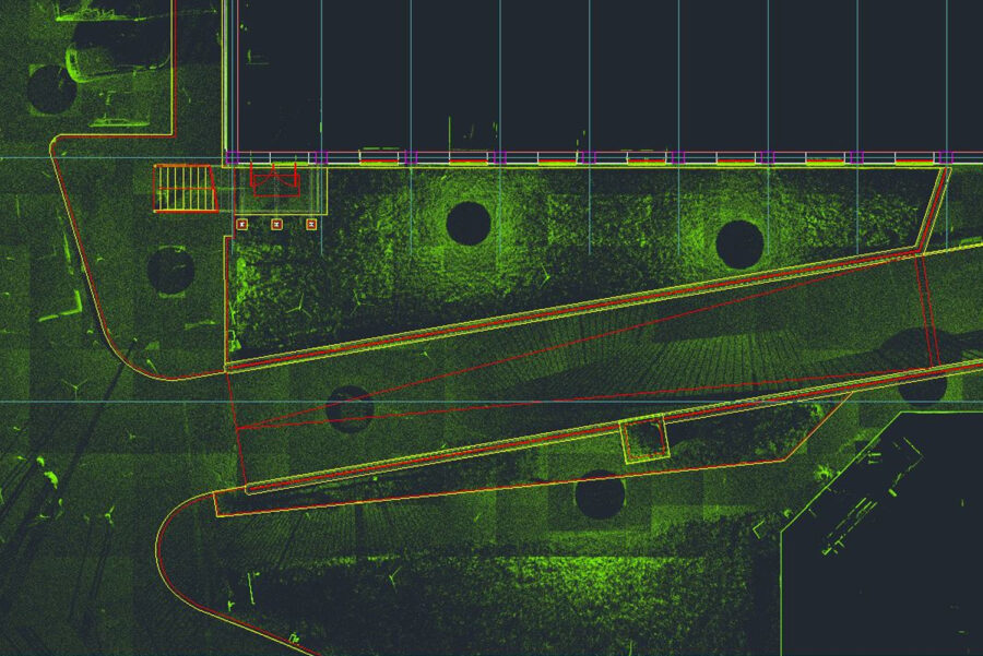
Here at Target Surveys, we have a depth of experience in providing both 3D Scanning and Point Cloud services, and as always, we will take your unique needs and requirements into account. We are able to survey sites of all shapes and sizes, delivering you with accurate and efficient Point Cloud data which can then be used to create a variety of different 2D drawings or 3D BIM models, depending on your preference.
Point Cloud data is often used for conservation purposes as it allows professionals to scan both cultural and heritage sites in meticulous detail. These scans can record all of the features and details that give a property or site its character and charm, allowing it to be restored in the most authentic way possible. The 3D Laser Scan also allows you to present your site in a convenient and accessible way.
So whether you have the data but are struggling with your Point Cloud manipulation or utilisation, or need a hand with your 3D scanning requirements, Target Surveys is here to help.
